


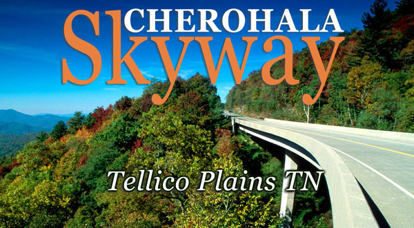


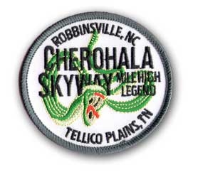
Cherohala Skyway
43-mile National Scenic Byway from Tellico Plains, Tennessee, to Robbinsville
Looking for ridge after ridge of forested mountainside with sweeping mountain views as far as the eyes can see; abundant and unobstructed scenic overlooks around every corner; world class hiking trails, refreshing waterfalls and scenic overlooks; a road featured as one of Discovery Channel’s Top 10 Motorcycle Rides in North America Some call it the “best kept secret.” We call it The Cherohala Skyway – experience it for yourself.
The Cherohala Skyway was completed in the fall of 1996 after planning and construction for some thirty-four years. It was North Carolina’s most expensive scenic highway carrying a price tag of $100,000,000. It winds up and over 5,400 foot mountains for 18 miles in North Carolina and descends another 23 miles into the deeply forested back country of Tennessee. The road crosses through the Cherokee and Nantahala National Forests thus the name “Chero…hala”. The Skyway is becoming well known in motorcycling and sportscar circles for it’s long, sweeping corners, scenic views and cool summer breezes.
This road enthusiast’s dream connects Robbinsville, North Carolina with Tellico Plains, Tennessee. It can be desolate at night and extremely dangerous in the winter months. There are no facilities other than a couple of restrooms for the entire 41 miles so make sure you have enough gas to make the crossing. There is little evidence of civilization from views that rival or surpass any from the Blue Ridge Parkway.
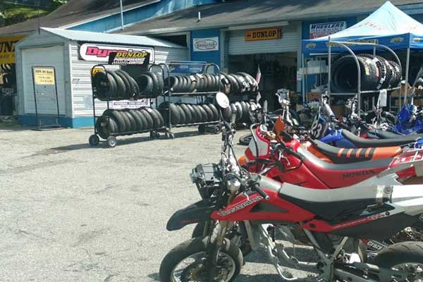
Cherohala Skyway Gifts
Find your swag for all the great roads including Cherohala Skwyay, Tail of the Dragon, Moonshiner 28, Devils Triangle, Six Gap, Diamondback and more.
Summer Weather Forecasting
Tail of the Dragon, Cherohala Skyway, and Moonshiner 28 summer weather: It is typical throughout the summer months for the weather reports in the mountains of western North Carolina to call for 60% chance of thunderstorms. What this really means is there will POSSIBLY be an afternoon shower. These scattered cells are small and short lived. They occur in the period of 2 pm to 4 pm and then the sun returns quickly drying the roads. There is no need to cancel your trip here because the weather says 60% chance of thunderstorms. Many days we don't even see any rain when its predicted.
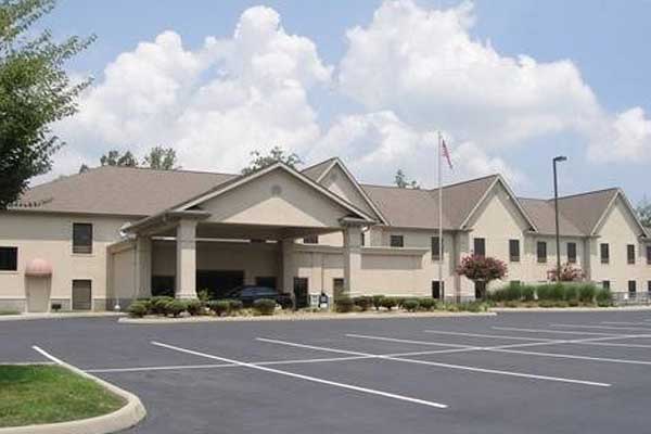
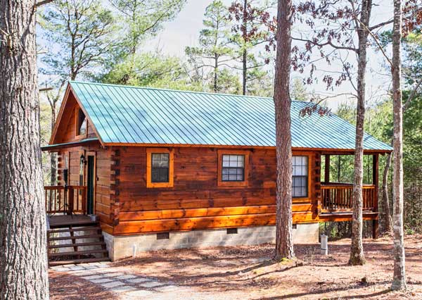
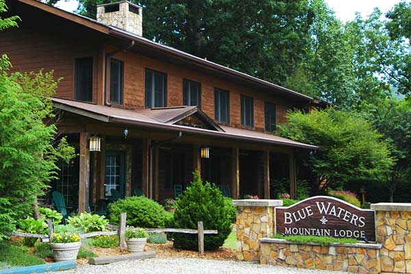
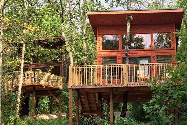
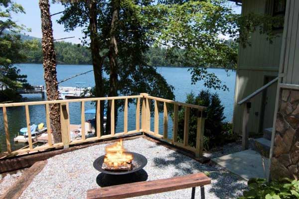
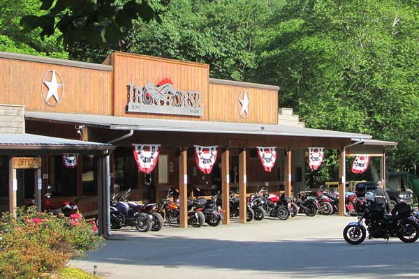
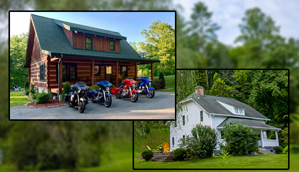
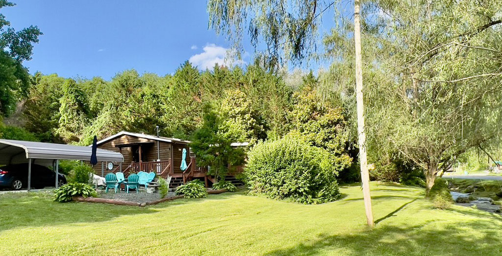
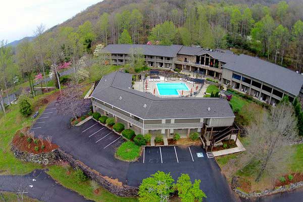
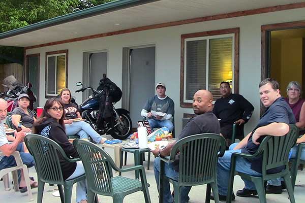
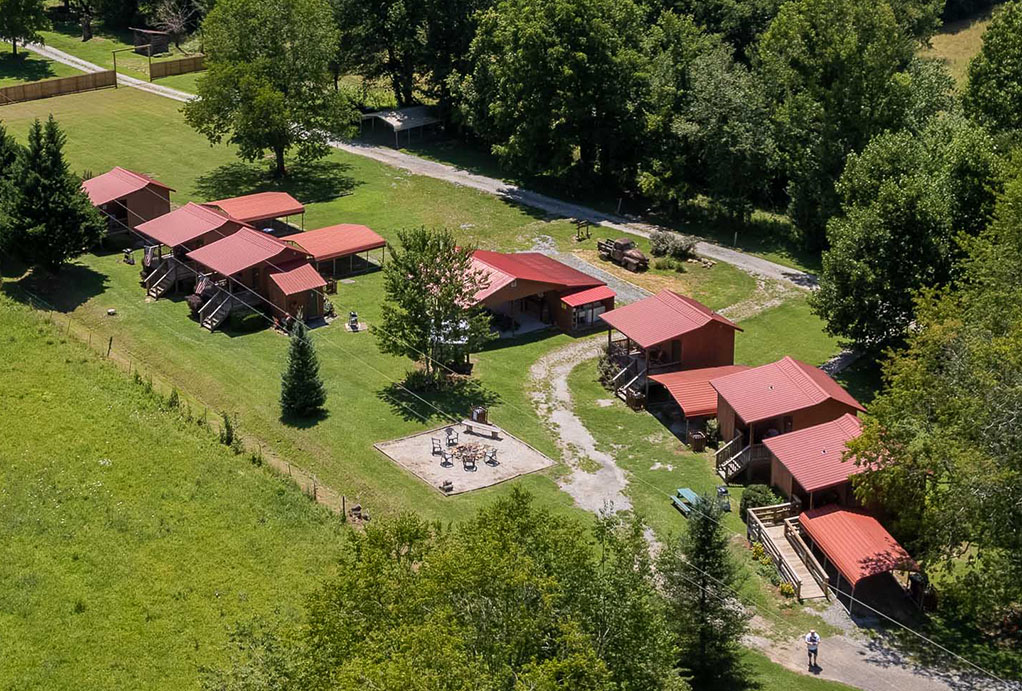
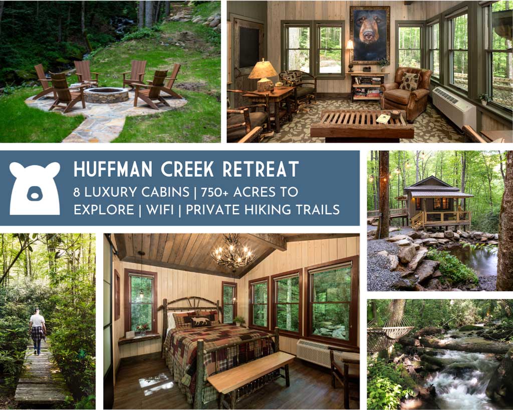
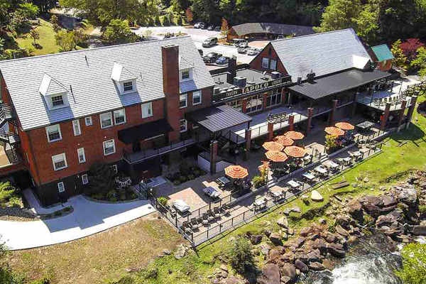
FEATURED LODGING
Want to see more?
There are a wide variety of accommodations in our area. These range from basic tent camping to exclusive mountain top resorts.